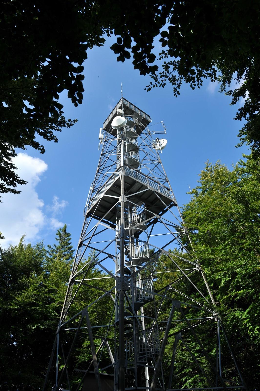
The highest peak of Konjiška gora Mountain with a viewing tower
Starting point: Slovenske Konjice Cemetery (380 m)
Length: 13 km (both ways)
Total ascent: 679 m
Walking time: 3 hours (both ways)
Difficulty: medium to difficult
The highest peak of Konjiška gora Mountain with a viewing tower
Starting point: Slovenske Konjice Cemetery (380 m)
Length: 13 km (both ways)
Total ascent: 679 m
Walking time: 3 hours (both ways)
Difficulty: medium to difficult
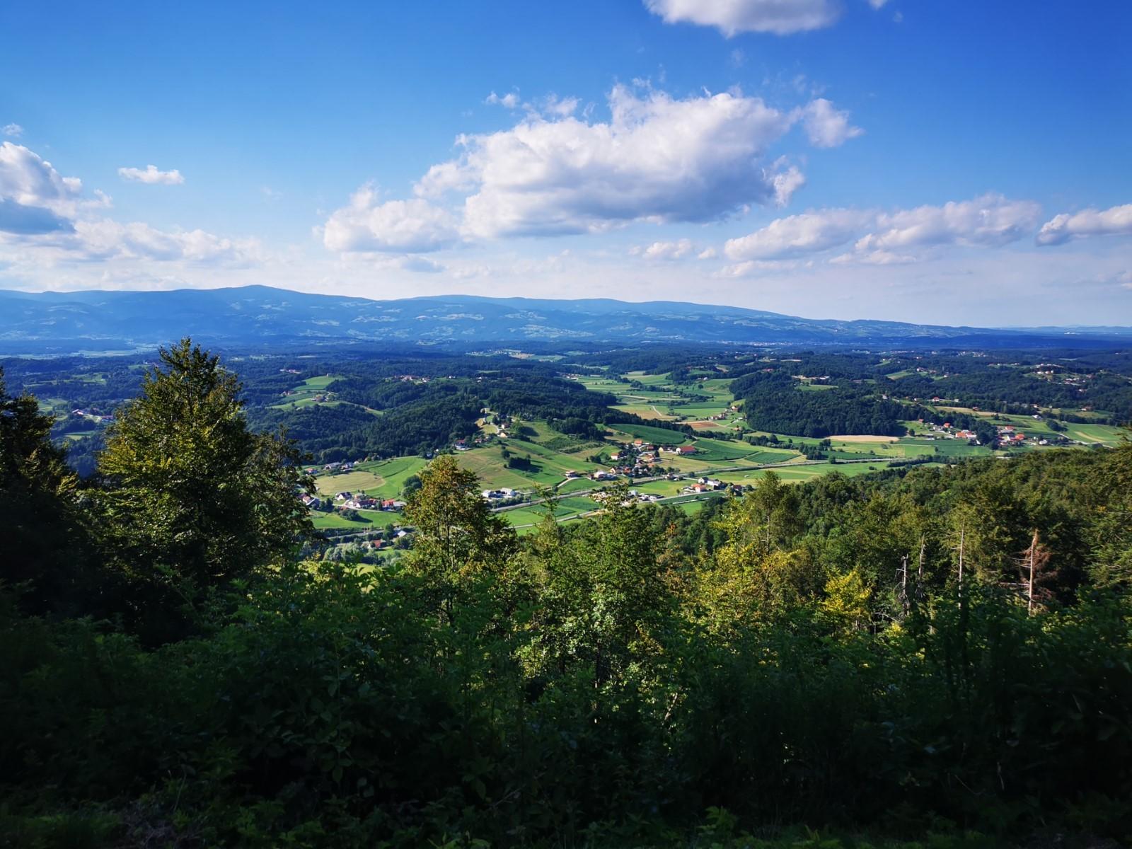
At the summit of Konjiška gora Mountain, hikers are welcomed by a 25-meter-high metal tower. In clear weather, visitors can enjoy panoramic views stretching across Slovenia and beyond from the top. Hikers have the opportunity to register their visit in the summit’s registration book, which also includes a mountain stamp.
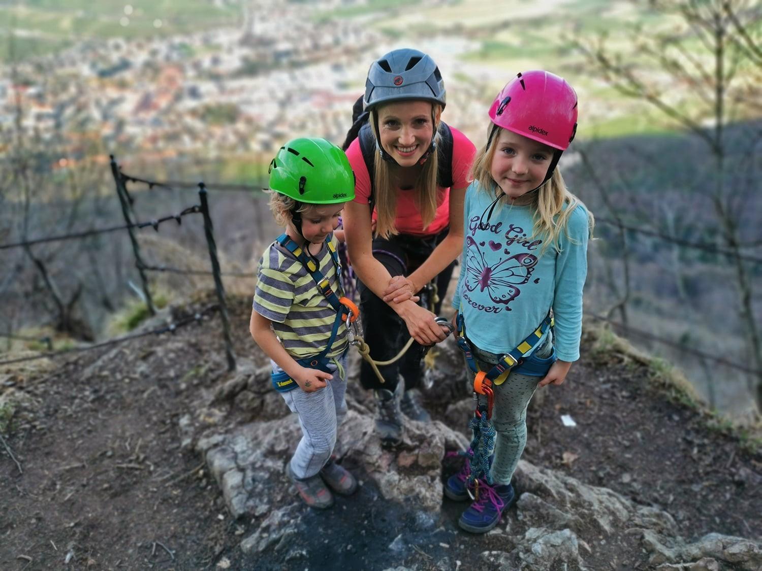
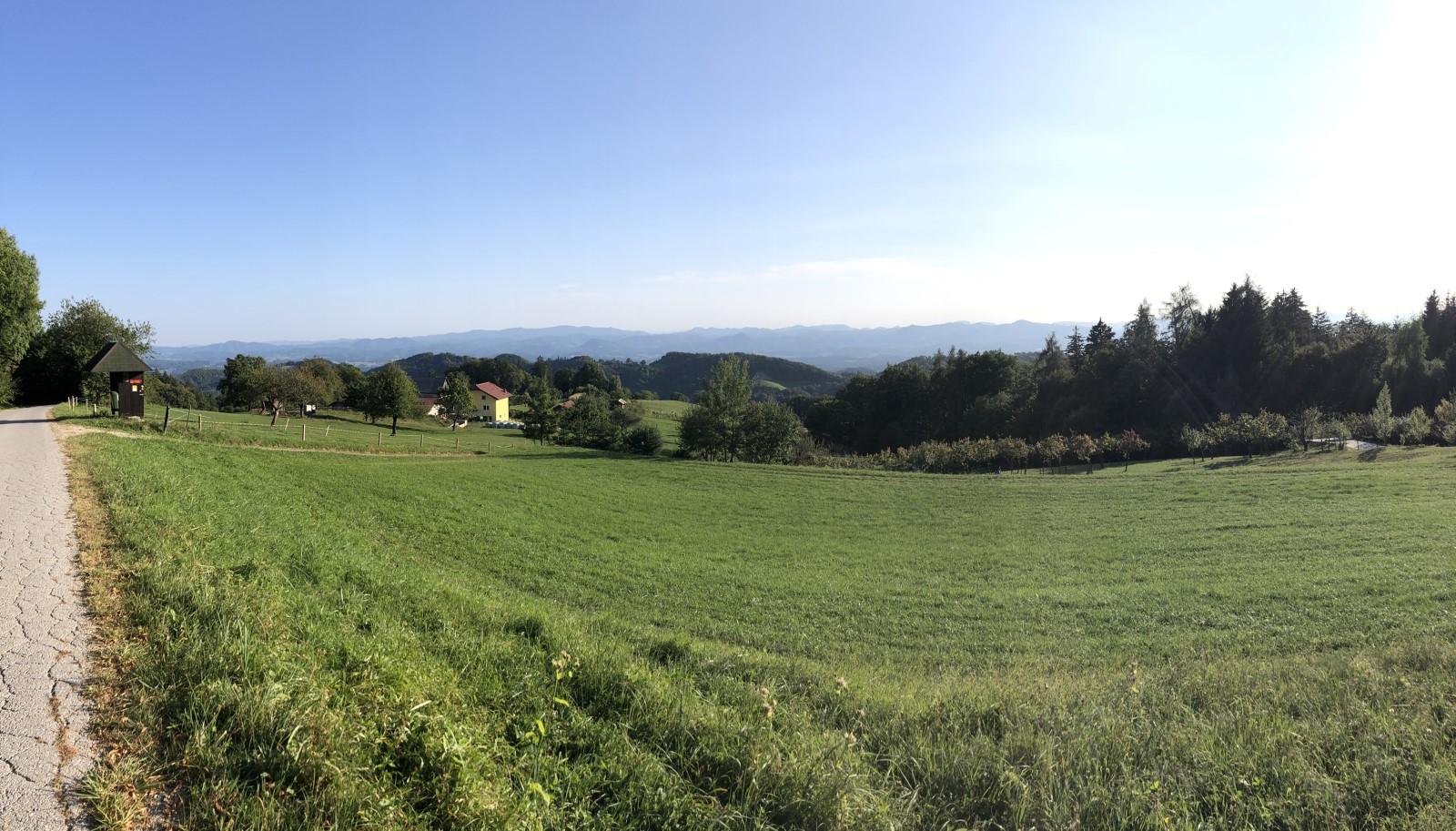
Description of the route: Above the Slovenske Konjice Cemetery, adjacent to the Church of the St. Anne, a steep path leads into the forest, eventually revealing the Old Castle of Konjice. Upon reaching the castle, descend towards the intersection of roads leading over Konjiška gora Mountain. Follow the markings guiding you up the road, then veer left onto a path. After the initial steep ascent, the terrain becomes more moderate, offering scenic views of the Dravinja Valley. Continue ascending until you reach the highest peak of Konjiška gora, standing at 1012 meters. At the crossroads of the Counts of Štant, you can climb a few meters further to reach the lookout tower, providing expansive views in clear weather.
Popular alpine spot with locals
Starting point: Slovenske Konjice Sports Hall (333 m)
Length: 3km (both ways)
Total ascent: 420 m
Walking time: 95 min (both ways)
Difficulty: easy
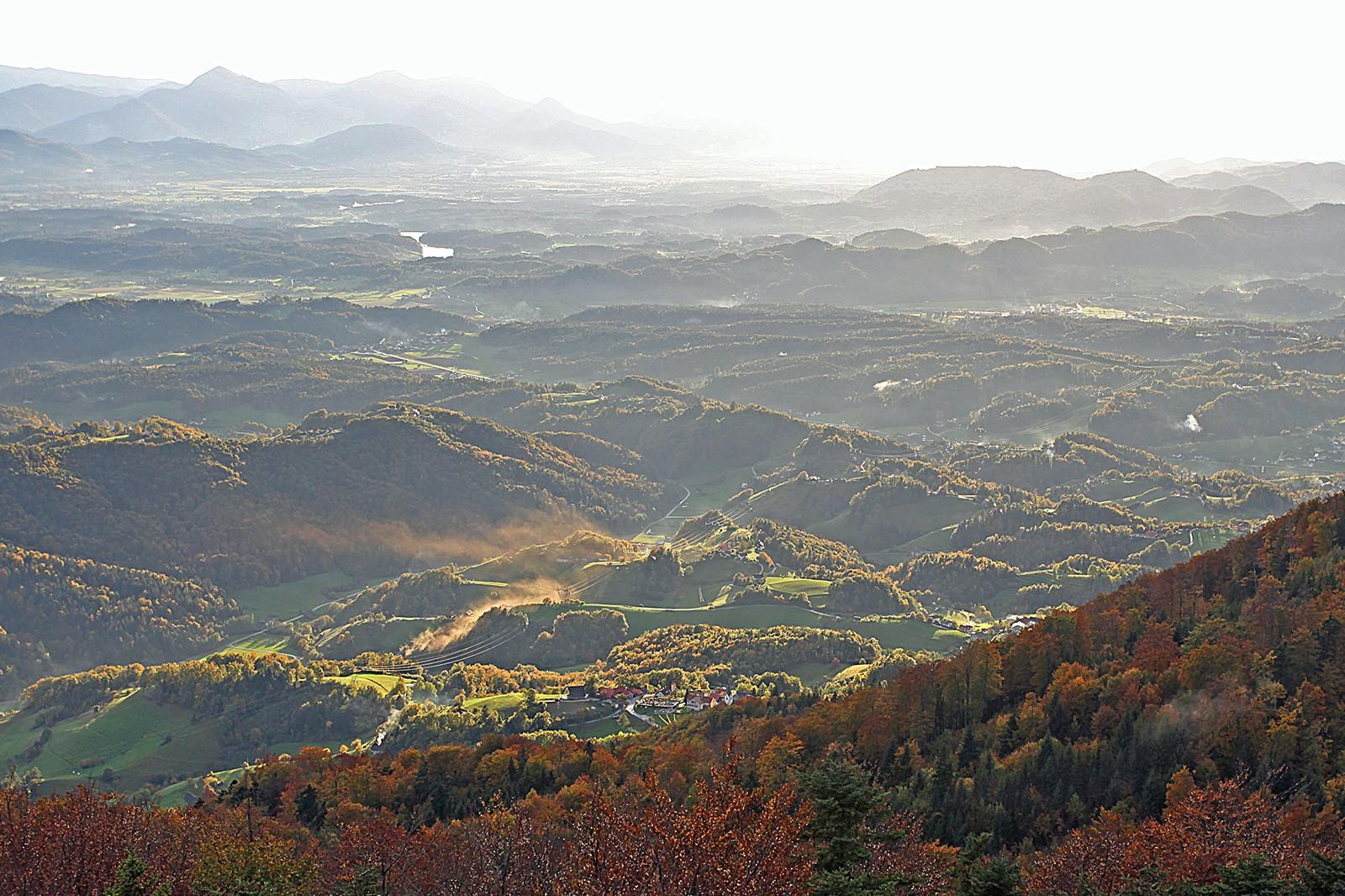
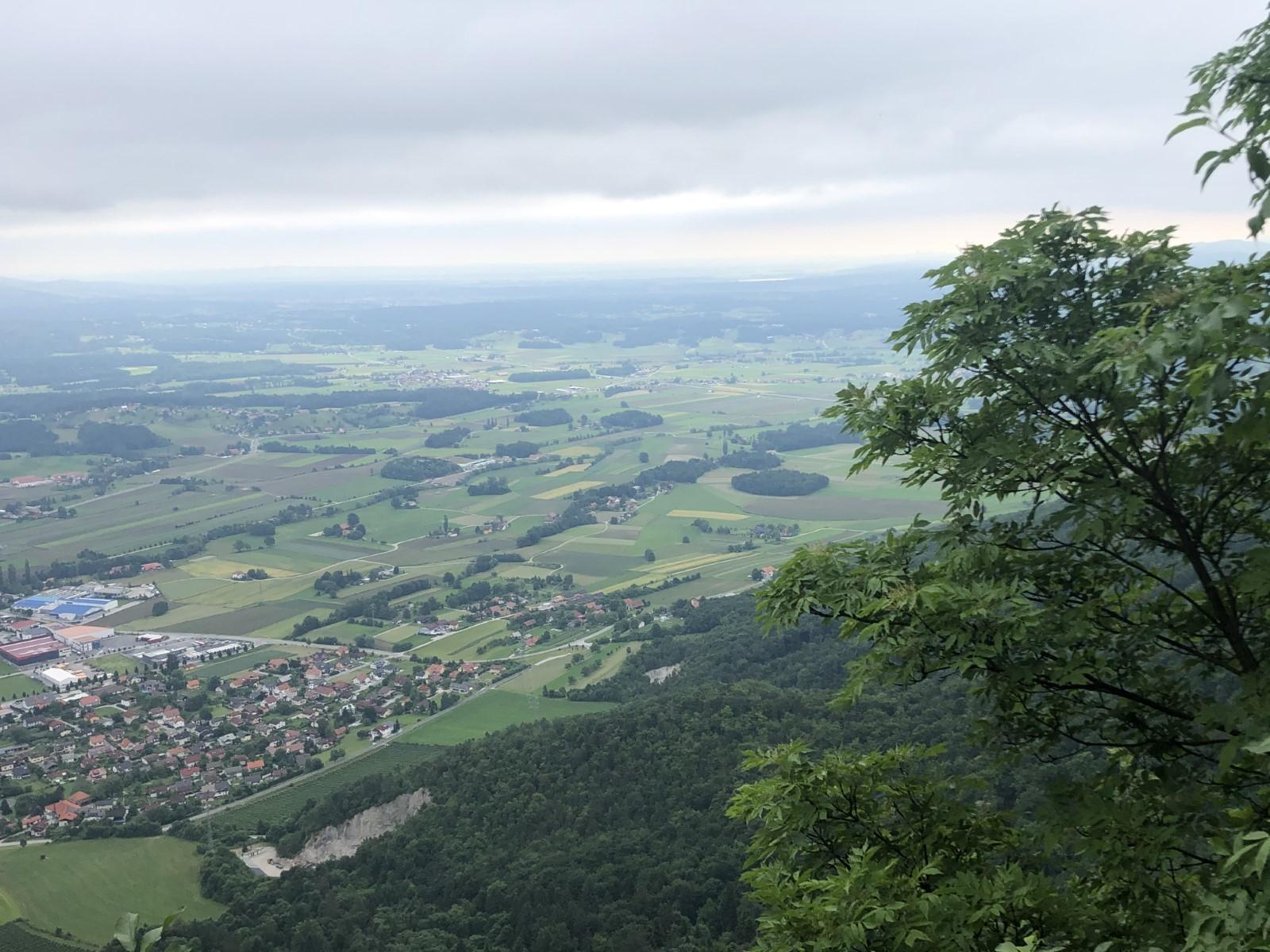
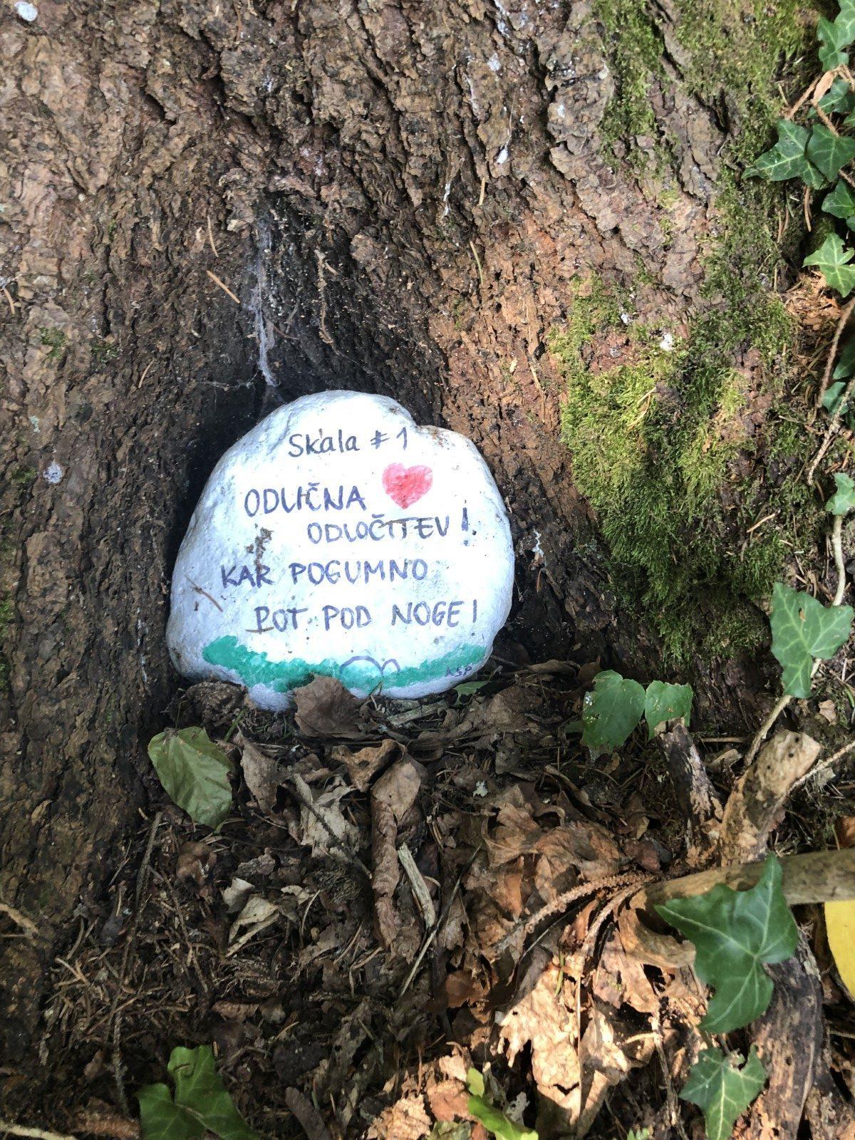
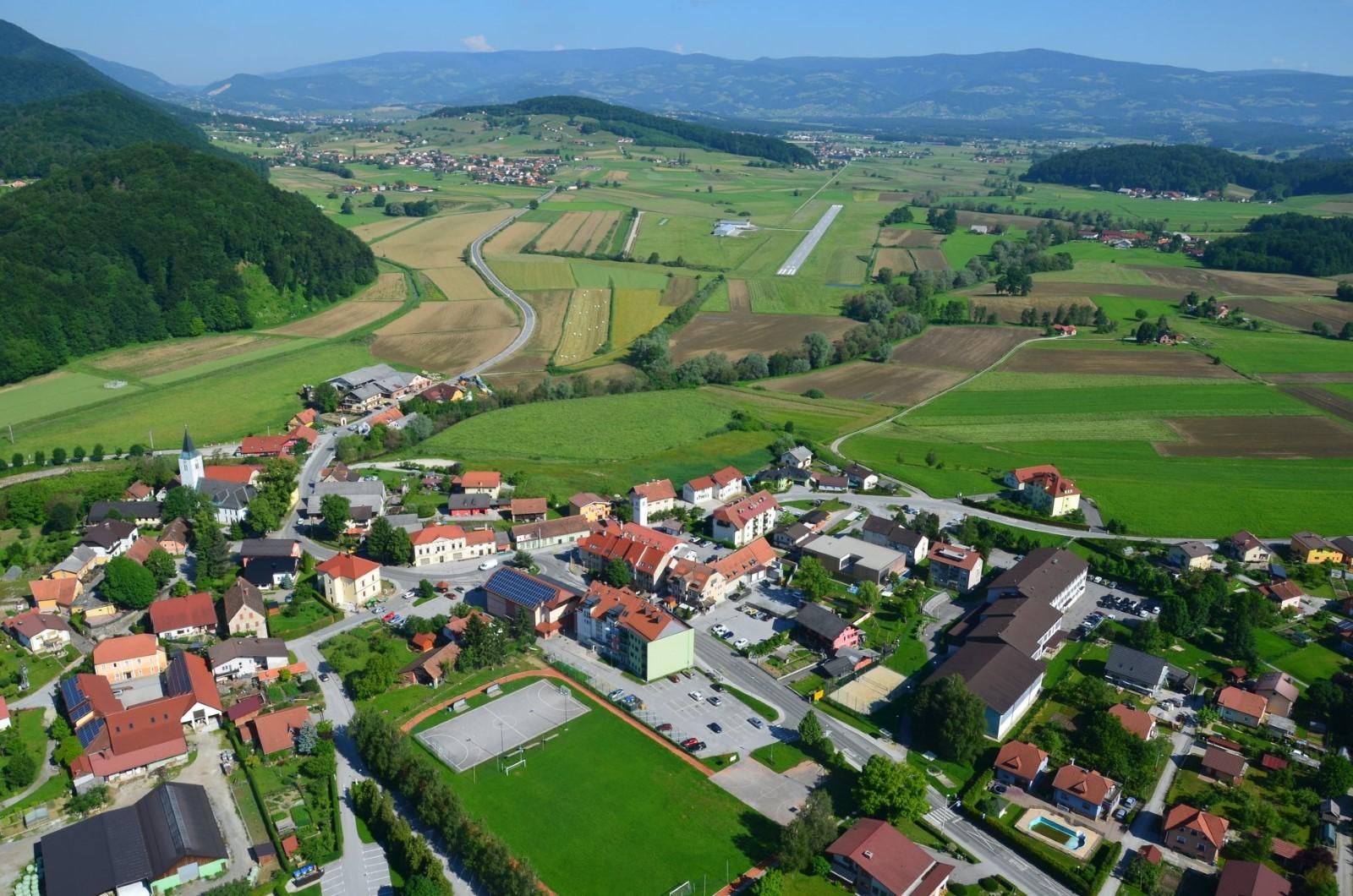
Skala is a scenic viewpoint that juts out from the northern forest slope of Konjiška gora Mountain. It provides a distinctive vantage point overlooking Slovenske Konjice and a significant portion of the Dravinja Valley, with Pohorje visible to the north and Boč and Dravsko polje Field to the east. Along this trail, hikers will find benches and a table, while at the summit, there is a registration book and a stamp for visitors to use.
Description of the route: From the sports hall in Slovenske Konjice, head up the road and then at the cemetery with the Church of St. the Anne, turn to the left. For a short time, the path will lead you along the road, and above the cemetery slightly to the right through the rock shelves to the ruins of the Old Castle of Konjice.
At the clearing opposite the castle, cross the gravel road and follow the trail markers into the forest. The path will lead you to the left of the Konjska smrt Gorge, eventually reaching a bend in the forest road that heads towards the southern side of Konjiška gora Mountain. Follow the markers leftward to the cart track, then onto the path through the forest, which serves as a shortcut back to the aforementioned road. Once there, follow the signpost directing you left onto the forest path. Enjoy a leisurely walk along the hunting trail leading to Skala.
On foot in the quiet Valley of St. John the Baptist.
Starting point: Slovenske Konjice Cemetery (380m)
Length: 12 km
Total ascent: 490 m
Walking time: 2 hours (one way)
Difficulty: medium to demanding
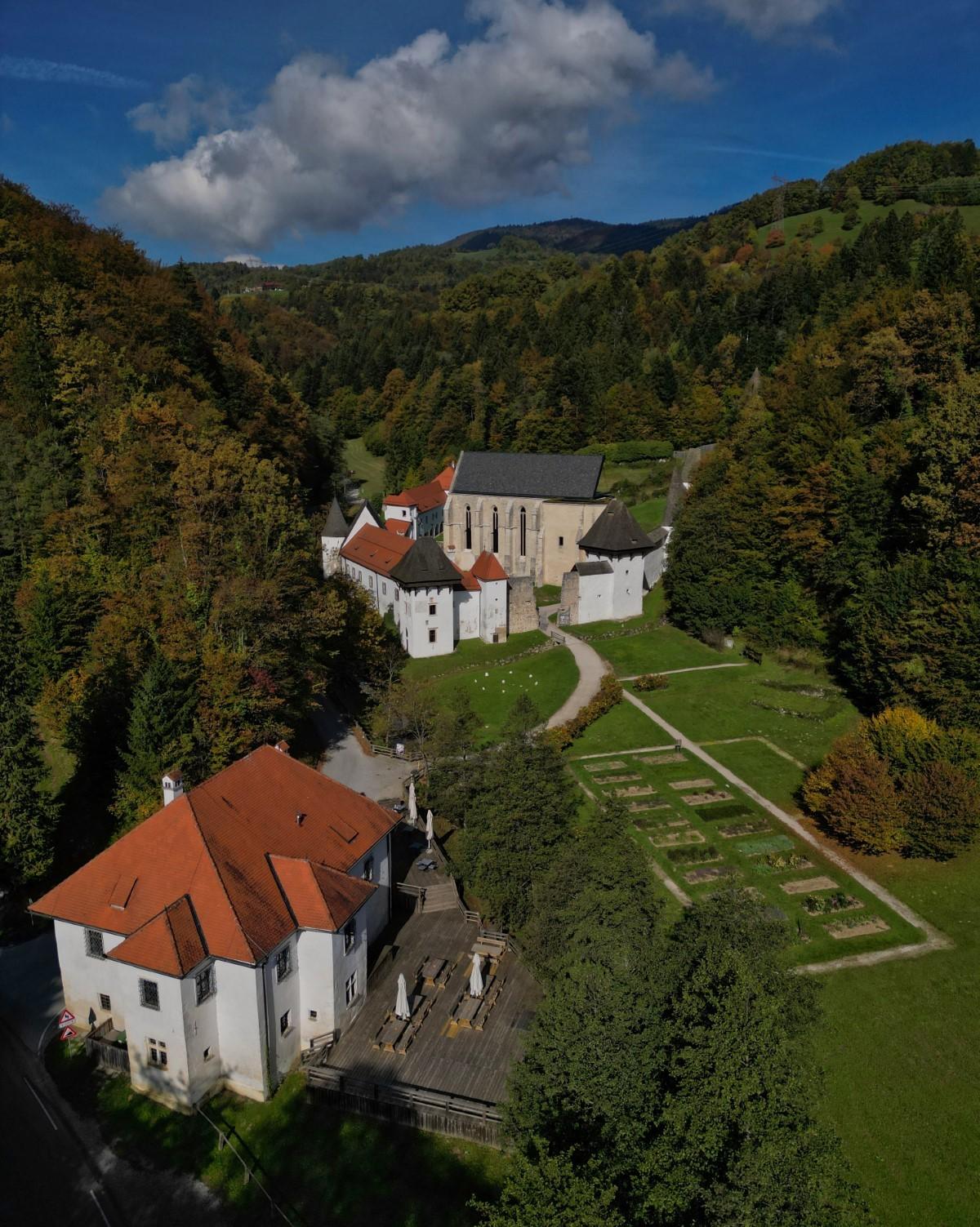
To the mighty ruins of the former monastery in the Valley of St. John the Baptist on a pleasant path that leads across Konjiška Gora. The Carthusians were a silent order, so Žička Kartuzija still prefers any guests who visit it to arrive without a car and without any noise.
Description of the route: The initial segment of the route mirrors the ascent to Skala, Slovenske Konjice’s most popular hiking point, which remains visible throughout the journey. Continuing in the same direction from Skala, following the signposts for Žička kartuzija Monastery, proceed along a narrow path towards the summit of Konjiška gora Mountain, eventually transitioning to a sandy trail. Upon reaching this point, begin the descent towards Žička kartuzija Monastery. Upon reaching the asphalt road, turn left, passing a small bus stop and a larger farm, then turn right and descend further. As you descend towards the Carthusian monastery, adhere to the markings and signs guiding you to Žička kartuzija Monastery at all times. The path will traverse through meadows and cart tracks, eventually leading into the forest. Initially, the path will continue straight along the forest’s leveled section before veering slightly to the right onto a moderately steep, albeit short, descent. This path leads to the valley below the eastern part of the Žička kartuzija Monastery walls.
OR
If you prefer an alternative to the gravel forest path, you can continue along the road leading to the Old Konjice Castle at the cemetery in Slovenske Konjice. Instead of turning left towards the Old Konjice Castle, proceed straight in the direction of the Three Crosses. Eventually, you will reach the same asphalt road, passing by a small bus stop and a farm. From this point onward, continue your journey following the previously described route. Map
Hiking trail connecting Loče and Zbelovo
Starting point: Loče (Lopan tourist farm)
Length: 21km (circular path)
Total ascent: 630 m
Hiking time : 8 hours
Difficulty: easy
The marked circular Loško-Zbelovska hiking trail offers hikers an opportunity to explore intriguing corners of the eastern part of the municipality of Slovenske Konjice.
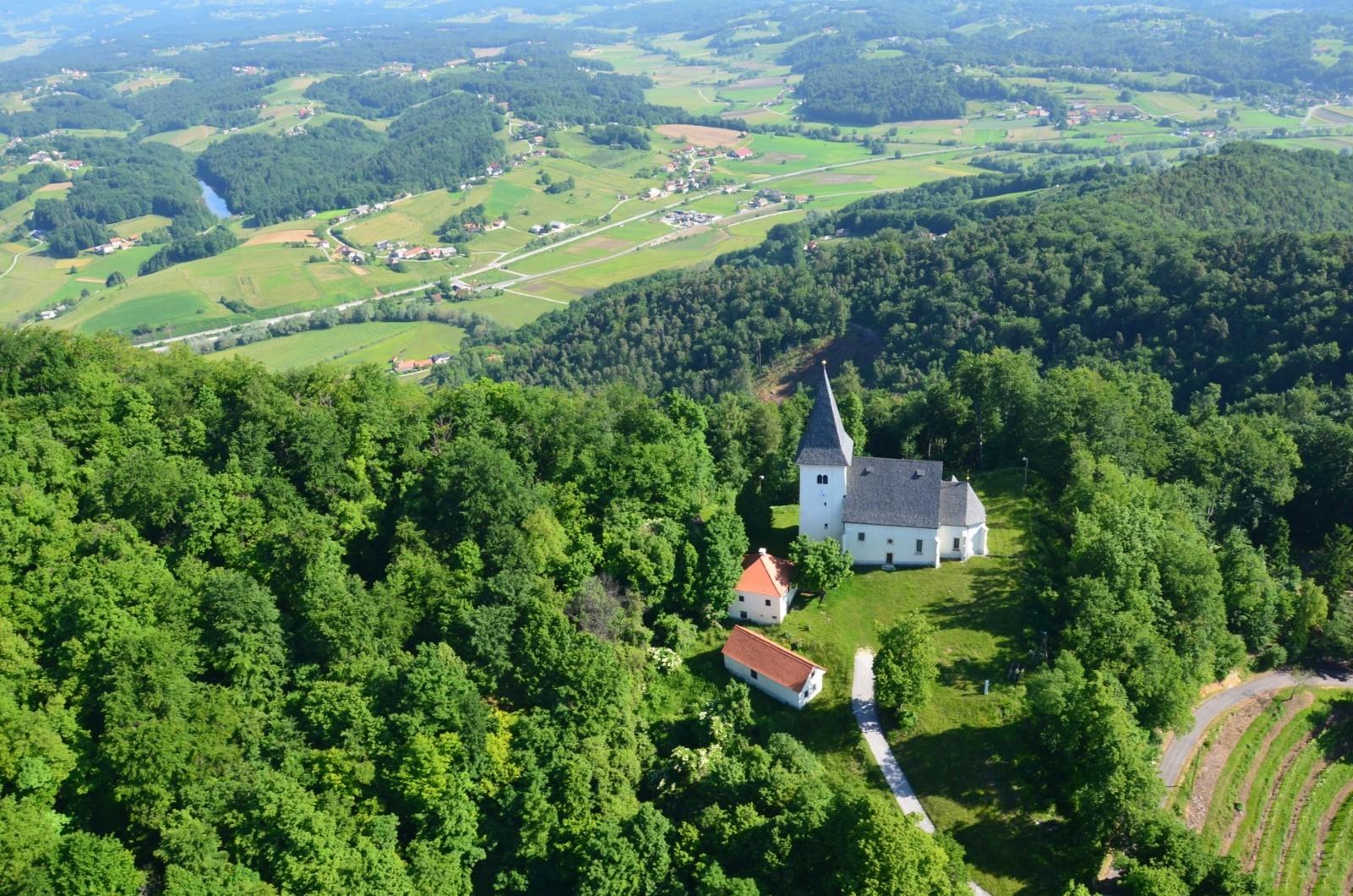
Description of the route: The trail commences in Loče, traverses past Mlače to Zbelovo, and then ascends to Ljubična gora Hill and Zbelovska Gora—hills that connect Boč with Konjiška gora Mountain. Continuing in a westerly direction, the circular path descends back to the valley, passing through Suhadol. Along this route, hikers will encounter numerous captivating sights, including the of God Church on Ljubica, Mary’s Steps, several chapels, the Maribor-Celje railway underpass, and charming villages, all amidst breathtaking views.


